Data Quality

Yaw
raw magnetic data
compensated magnetic data

Tau GeoSystems TotalMag Solution

Tau GeoSystems have spent several years developing intellectual property relating to the data processing of drone magnetic data that separates Tau GeoSystems TotalMag solution from competitors. 

Most competitors don’t remove for manoeuvre noise due to many complicated factors.  Tau GeoSystems has solved for these problems and can correct for the manoeuvre noise down to 0.1nT amplitude as shown in the figure below.

The effect of removing the manoeuvre noise is seen in this image.  One flight in the middle has not had the data compensated.  This is the difference in data quality between Tau GeoSystems and competitors.  Clients are willing to pay a premium to receive a lower noise, higher quality magnetic map, as it directly affects their likelihood of discovering a mineral deposit.

The Worlds Highest Quality Magnetic Data

Tau GeoSystems employs geophysicists from around the world to process the magnetic data.  You can be rest assured, the data quality your clients receive will be the highest quality and resolution datasets produced in the world.  There is no input required from your company, the data will be seamlessly delivered to you in a timely manner so you can wow your clients.
01

TMIRTP

02

TMIRTP1VD

03

TMIRTP2VD

04

TMIRTPAS

Skylle-and-bird-2-scaled.jpg

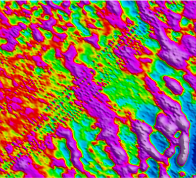
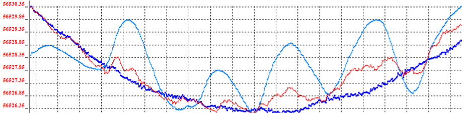
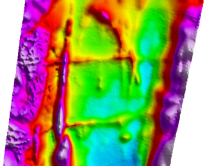
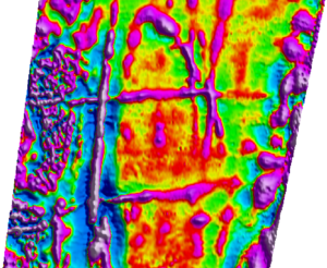
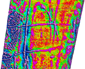
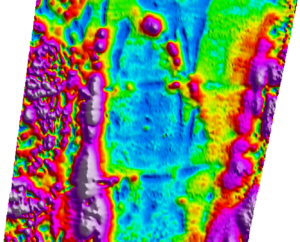
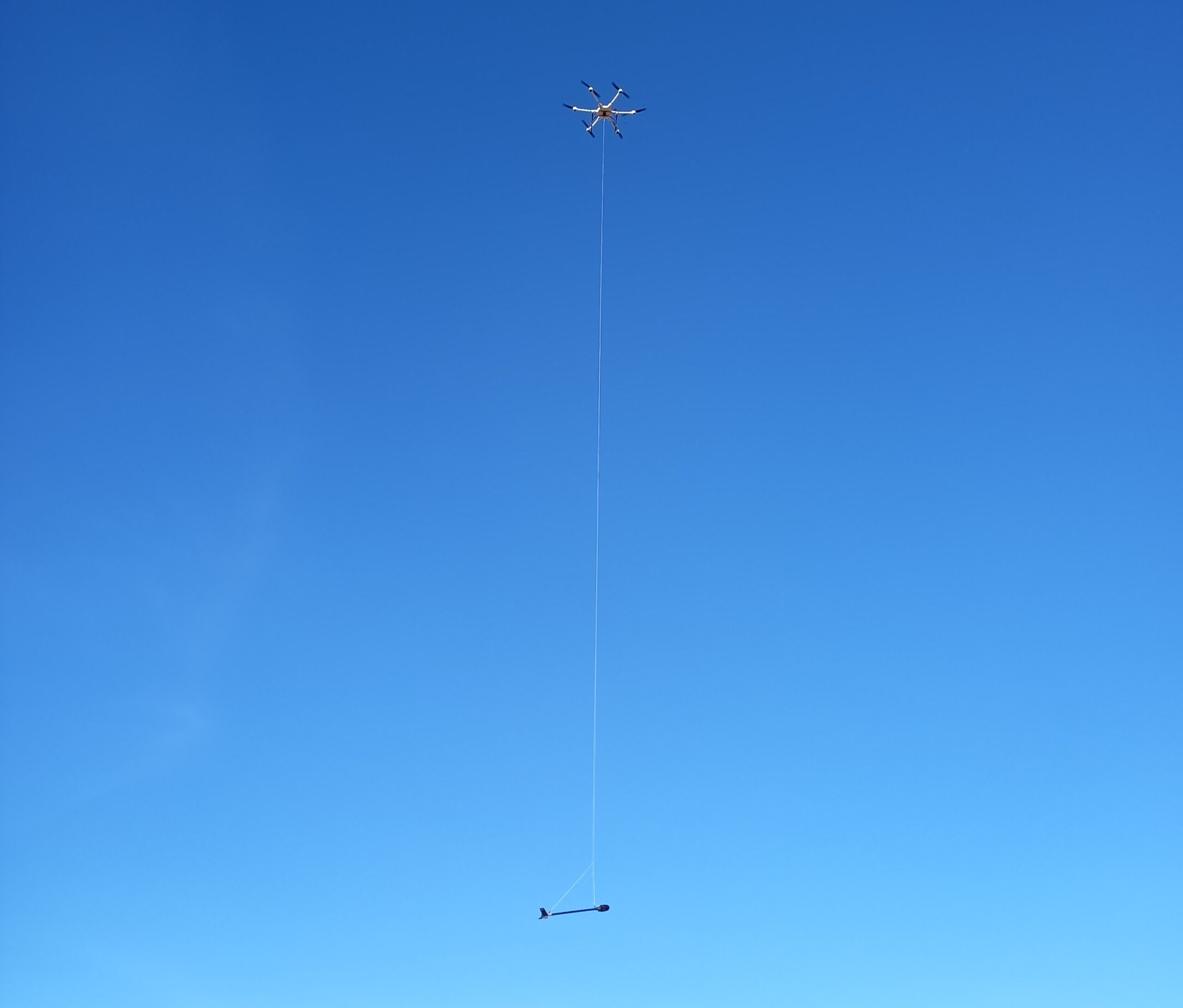
Improved Magnetic Map Quality

The magnetometer bird is slung 20 to 40m under the drone.  The magnetometer doesn’t see any electromagnetic noise from the drone producing a higher quality magnetic map.